DIGITIZING APP
Aug, 2022
digitizing-app
Company Project
Fullstack
GIS
Automation
Visualization
Description

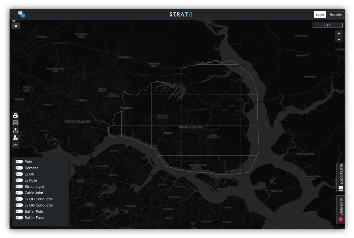
Digitizing App is an internal GIS application designed to streamline the digitization and validation process of spatial data. It serves as a crucial tool for ensuring data accuracy and workflow efficiency for digitization teams. The app seamlessly integrates with ArcGIS and a PostgreSQL database to automate validation processes, reducing human errors and improving spatial data precision.

This application automates vector validation by checking line length, precision, and snapping accuracy, while also allowing manual digitization and edits within the system.

For a demo, visit: YouTube Demo


Key Features:
1) Automated Digitization Validation – Ensures spatial data accuracy by verifying data properties, long distance, vector precision, snapping, etc.
2) Integrated with ArcGIS – Synchronizes digitization efforts from desktop GIS tools to the centralized database.
3) Database-Linked Workflow – Directly connects with PostgreSQL to manage and validate spatial datasets.
4) In-App Editing – Allows users to manually digitize or modify vector data for enhanced accuracy.
Tech Stack
React.js
Node.js
PosrtgresSQL
OSM
JavaScript
Wanna talk with me?
Let's chat first
adinugraha.ista@yahoo.com
Builder with Astro v.5